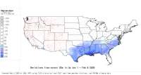
Daily and Interactive Degree-Day Maps of Western USA

Updated daily 9:15-10:08 am Pacific time

These maps are calculated using the GIS GRASS 5.0, and are based on 1) near-real time temperature data from numerous AgriMet , HydroMet, National Weather Service , RAWS, and Snotel weather stations, 2) historical average temperature data from numerous stations, 3) PRISM monthly max and min temperature maps, and 4) inverse-distance squared interpolations of differences between PRISM map-based and real-time degree-day calculations. See More info. on methodology for creating DD maps. Also try out our new Degree-day Mapping Calculator for more control over calculation and mapping options.

(NOTE: you may need to use your browser's RELOAD or REFRESH button for latest images)

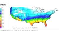
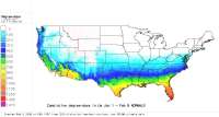
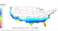
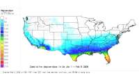
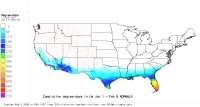
Degree-Day Maps created daily using a 32 F. lower threshold:
Jan 1 - yesterday Finished Map (click for larger version)
2004 (Current)

GRASSLinks interactive GIS interface:
(select region, size and click GO)

Region
Mapsize pixels       
W. US this year to date
Normals (Historical avgs)
Region
Mapsizepixels       
W. US Normals to date
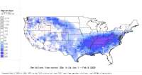
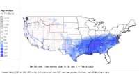
Deviations from Normals
Region
Mapsizepixels       
W. US deviations from normal to date

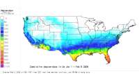
Degree-Day Maps created daily using a 41 F. lower threshold:
Jan 1 - yesterday Finished Map (click for larger version)
2004 (Current)

GRASSLinks interactive GIS interface:
(select region, size and click GO)

Region
Mapsize pixels       
W. US this year to date
Normals (Historical avgs)
Region
Mapsizepixels       
W. US Normals to date
Deviations from Normals
Region
Mapsizepixels       
W. US deviations from normal to date

Degree-Day maps created daily using a 50 F. lower threshold:
Jan 1 - yesterday Finished Map (click for larger version)
2004 (Current)

GRASSLinks interactive GIS interface:
(select size and click GO)

Region
Mapsizepixels       
W. US this year to date
Normals (Historical avgs)
Region
Mapsizepixels       
W. US Normals to date
Deviations from Normals
Region
Mapsizepixels       
W US deviations from normal to date


[Home] [Intro] [NW DD Mapmaker] [DD Calc] [DD Models] [Links]


Integrated Plant Protection Center at Oregon State
University
This page updated Jan 27, 2004
Contact Len Coop at coopl@bcc.orst.edu if you have any questions about this information.